OKM Rover C4 | Visualizer 3D ile 3D Yeraltı Tarama Eğitimi
OKM Rover C4 ile 3D Yeraltı Taraması Yapma
Bu detaylı eğitimde, OKM Americas Başkan Yardımcısı Mark Harris, OKM Rover C4 kullanarak 3D yeraltı taraması yapma sürecini adım adım anlatıyor. Almanya’nın Altenburg şehrindeki OKM merkezinde çekilen bu video, Rover C4’ün kurulumundan son analizine kadar tüm özelliklerini uygulamalı olarak tanıtıyor. İster yeraltı taramasına yeni başlayın ister becerilerinizi geliştirmek isteyin, bu video size her önemli adımda rehberlik edecek.
Başarılı Bir Tarama İçin Rover C4’ün Kurulumu
Mark, Rover C4’ü tanıtarak tarama için temel kurulum adımlarını açıklıyor. Bu örnekte amaç, test sahasında gömülü metal bir boruyu tespit etmek. Cihazın hazırlanması ve tarama parametrelerinin ayarlanması hakkında net talimatlar veriyor.

Tarama modunun doğru seçilmesi ve tüm ayarların en iyi sonuç için yapılandırılması gerekiyor. Mark ayrıca Bluetooth özelliğini kullanarak verilerin kablosuz şekilde dizüstü bilgisayara nasıl aktarılacağını gösteriyor; bu da süreci daha kolay ve verimli hale getiriyor.
Tarama Verilerinin Aktarımı ve Visualizer 3D Studio ile Analiz
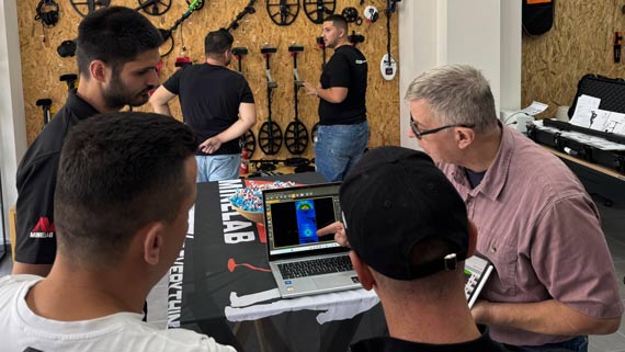
Tarama tamamlandıktan sonra, Mark Rover C4’ten tarama verilerinin dizüstü bilgisayara kablosuz aktarımını gösteriyor. Aktarım işlemi basit ve cihaz otomatik olarak bilgisayarla eşleşerek veri aktarımını kolaylaştırıyor. Doğru hafıza bankası ve darbe sayısının seçilmesinin önemini anlatıyor. Sonrasında, tarama sonuçlarını analiz etmek için Visualizer 3D Studio (V3DS) yazılımında açıyor. 3D görselleştirme, gömülü metal boruyu doğrulayan net ve güçlü bir ferromanyetik sinyal gösteriyor.
V3DS’nin Scan Field Overlay Özelliği ile Hassas Konum Belirleme
Videonun öne çıkan noktalarından biri, Mark’ın V3DS’deki “Scan Field Overlay” (Tarama Alanı Üzerine Görüntü Yerleştirme) özelliğini tanıtmasıdır. Bu özellik, test sahasının bir fotoğrafını 3D tarama üzerine yerleştirerek yeraltının daha ayrıntılı bir görünümünü sağlar ve taramanın doğruluğunu teyit etmeye yardımcı olur. Mark, görüntüyü tarama verileriyle hizalama sürecini adım adım gösteriyor; böylece hedef nesnenin tam konumu ve derinliği kolayca belirleniyor.
Bu video, OKM Rover C4 kullanarak etkili yeraltı taraması yapmanın pratik ipuçlarını sunar. Mark’ın detaylı rehberliğinde cihazı doğru şekilde kurmayı, tarama yapmayı, verileri analiz etmeyi ve yorumlamayı öğrenerek kendi taramalarınızda başarılı sonuçlar alabilirsiniz.


